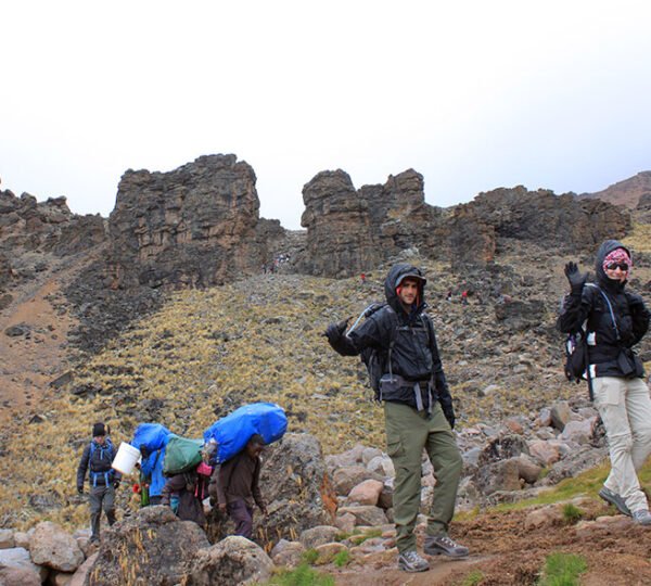
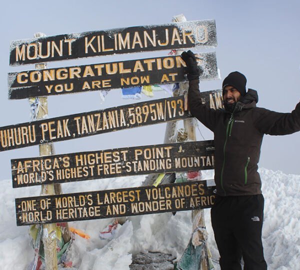
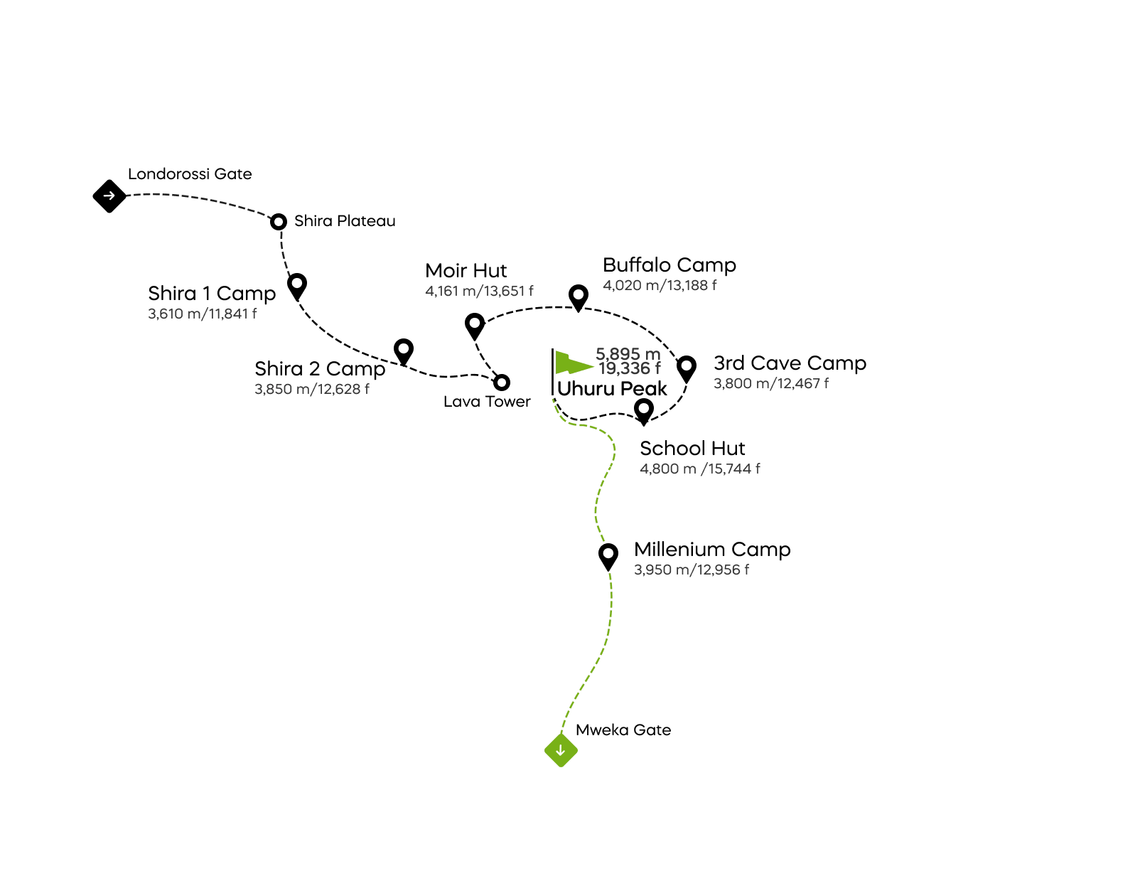
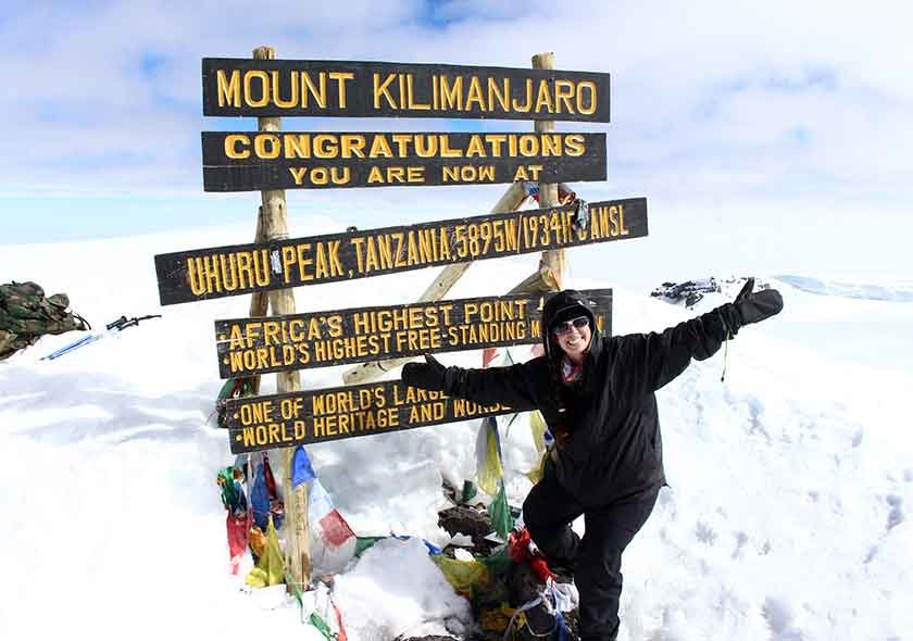
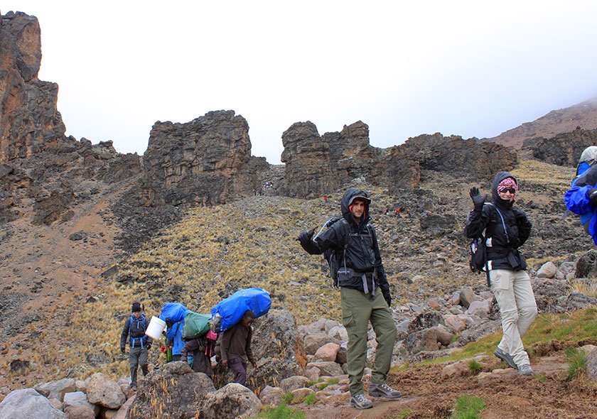
The Lemosho path is a traditional track that has gained prominence in recent years. And deservedly so: it provides breathtaking vistas, an excellent acclimatization profile, and among of the greatest summit success rates of any route.
Starting on Kilimanjaro’s western side, the Lemosho path is accessible in two itineraries: seven and eight days on the summit. One of Lemosho’s attractions is Cathedral Peak, one of the Shira Volcano’s highest elevations (3872 m). The Lemosho route is one of the most effective acclimatization routes. This less-traveled trail leads to the Shira Plateau and provides breathtaking vistas.
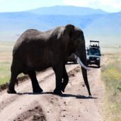
Because buffalo, elephants, and other species live in the forests around the Lemosho Glades, this route is one of the few where groups may be escorted on the first day by an armed ranger.
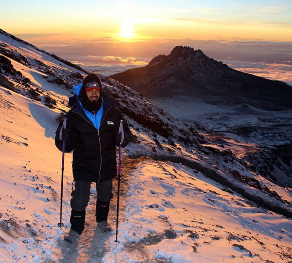
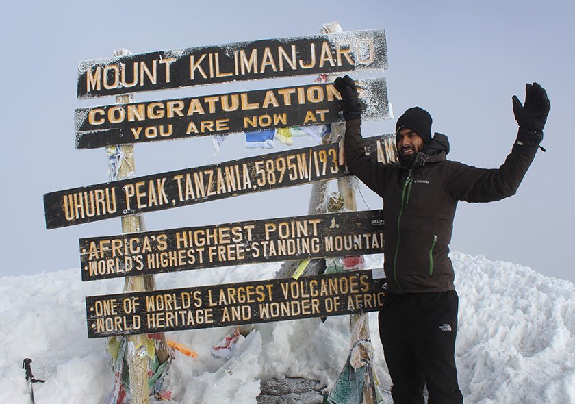
Eight days Among the highest success percentages is Lemosho. The extra days let your body adjust to the higher altitude, lessening the symptoms of altitude sickness and providing you with more time to recover before making the summit attempt.
Duration: 7 to 8 days.
Level of difficulty: Medium
Scenery: Excellent
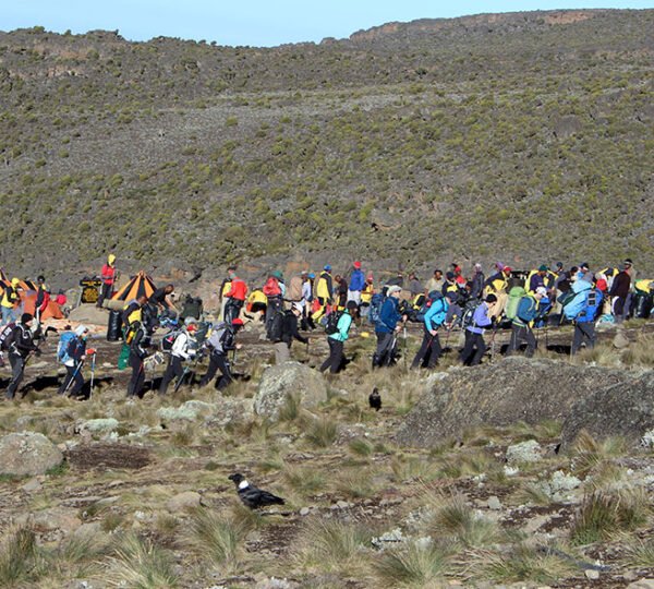
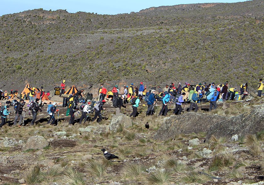
Traffic: Medium.
Tour Highlights:
- Departure and Return Place: Moshi Town to Lemosho Gate and then back to Kilimanjaro International Airport (Google Map)
- Departure Time: Please be ready by 8:15 AM for a prompt departure at 9:30 AM.
- Return Time: Approximately 10:30 AM on the last day.
- Dress Code: Casual. Comfortable athletic clothing, hiking shoes, hats, cold-weather jackets, gloves, pants, and spare clothing.
- Accommodation: Two nights of accommodations based on bed and breakfast at a 3-star hotel (upgrades on request).
- Customizations: Can be customized upon request to meet travelers’s needs
- Extensions: Trip Extensions are available on request.
- Trip Availability: All year round.


